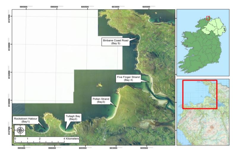
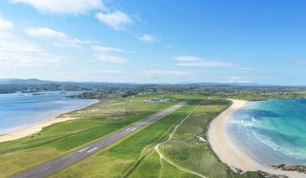
Councillors in Inishowen have been told that five sites between Slodden and Binbane Head have been added to the Coastal Monitoring Survey Programme being implemented by the OPW.
They are Rockstown Harbour, Tullagh Bay, Pollan Strand, Five Finger Strand and the Binbane Coast Road.
The programme is intended to carry out regular surveys at differing times of the year in order to increase understanding of coastal change in the chosen areas.
Changes in sediment levels and volumes will be monitored and quantified, both on the beach and the sea bed.
The surveys will also focus on any submerged features that may influence coastal flood or erosion risk, or influence sediment transport processes.
Changes in the vegetation line close to the beaches will be identified and monitored, and changes in nearshore sediment reservoirs or sinks will be quantified.
Crucially, members were told the studies will monitor accelerated rates of coastal erosion that may be associated with climate.
The findings will be used to inform and support the planning, design and construction of new coastal infrastructure.
In July 2019, the council published a Coastal Erosion Risk Management plan for the coastline between Slodden Port and Binbane Head.
It recommended ongoing monitoring but no active intervention for all sites except the Pollan Strand, where some managed realignment has been recommended on adjoining land owned and operated by Ballyliffin Golf Course. That work will be carried out by the club, not the council.
The 2019 report can be accessed HERE


