 The INFOMAR marine research project is being extended and will include mapping of Lough Foyle and Lough Swilly.
It’s part of a new Government commitment which will see €15m euro spent over the next 5 years.
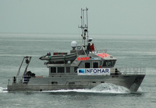
The INFOMAR project is labelled as the most valuable resource for marine research and development in Ireland and beyond.
Covering some 125,000 square kilometres of underwater territory, the project is producing new mapping and integrated products covering the Irish maritime space.
It provides seabed surveys, which are used in all activities from planning for offshore renewable energy projects to ensuring shipping lanes are safely charted.
In the eight years since it began, the INFOMAR project has conducted detailed surveys along the SouthWest, South and East coasts and completed mapping of most Irish bays and harbours.
It has identified new navigational charts, Shipwreck maps and books and new Marine Special Areas of Conservation Data to underpin Foreshore Licensing
The next phase of the project will include mapping of Lough Foyle and Lough Swilly along with four other areas – 15 million euro will be spent over the next five years.
- Sat, 4 Jul 2026
- (+353) 07491 25000
- (+353) 086 60 25000


